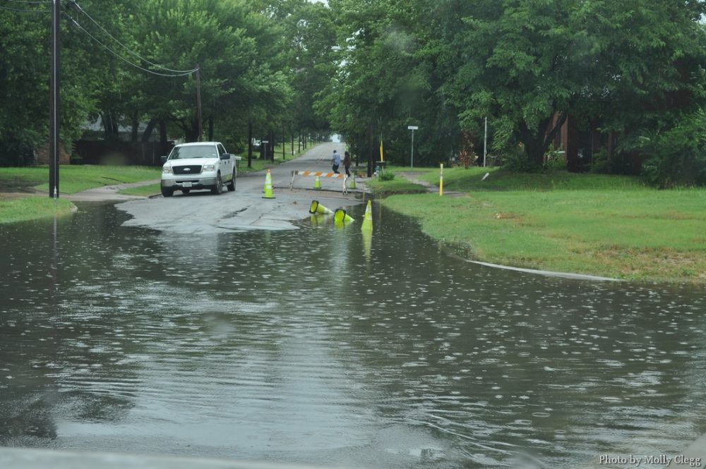
 The National Weather Service has issued a Flash Flood Watch in effect for Thursday and Thursday night for much of North Central, Northeast, and South Central Texas including Hopkins and surrounding counties. Thunderstorms are expected to develop Wednesday night as an upper level storm system approaches from the west. Showers and storms will increase in coverage Thursday with some producing heavy rain, which may lead to flash flooding. Recent heavy rainfall events have led to saturated soils meaning that 1-2 inches of rainfall in a short amount of time could lead to flash flooding in many of the affected areas. Higher amounts of rain can be expected in some localized areas.