September 29, 2026 – AUSTIN, Texas — Texas state emergency officials transitioned the State Emergency Operations Center (SOC) to 24/7 round-the-clock operations on Tuesday morning, September 29, as high-level preparedness measures took effect across the state.
The escalation follows an urgent press briefing delivered Monday by Governor Greg Abbott alongside state emergency leaders.Officials warned that a dangerous collision between tropical moisture from Hurricane Polo and a slow-moving Pacific cold front could unleash excessive downpours, severe thunderstorms, and localized rainfall totals reaching 10 to 20 inches if the atmospheric system stalls over the state.
“Please take whatever action you can to prepare yourself, your family, your home for the heavy rain that may come,” Governor Abbott urged during the briefing. “State resources are available to support local officials. Texans should monitor local forecasts, avoid flooded roadways, and heed guidance from state and local officials. Remember: Turn Around, Don’t Drown”.
A Multi-Phase Weather Threat Across the State
Meteorologists with the National Weather Service (NWS) report that the storm system is moving inland in distinct phases:
- Far West Texas & Panhandle (Monday–Tuesday): Heavy rain and isolated flash flooding began in Far West Texas and El Paso late Monday before pushing into Lubbock, Amarillo, and Midland on Tuesday.High winds up to 60 mph and isolated tropical tornadoes accompanied the initial wave.
- I-35 Corridor & North/Central Texas (Midweek Onward): By Wednesday, the primary threat shifts toward North Texas, Central Texas, and along the Interstate 35 corridor.Because much of the region is under parched, drought-stricken soil, the ground’s ability to absorb sudden volume is severely reduced, dramatically increasing the likelihood of swift surface runoff and flash flooding.
- Eastern & Southern Extremes: While central and western regions prepare for deluge, East Texas faces heightened wildfire danger due to persistent dry fuels, while South Texas remains under severe heat conditions.
Massive State Mobilization
At Governor Abbott’s directive, more than 1,900 trained responders and over 1,500 pieces of heavy equipment have been pre-positioned to assist municipalities:
- Search & Water Rescue: Texas A&M Task Force 1 swiftwater boat squads, Texas Parks & Wildlife Department (TPWD) game wardens, and the DPS Tactical Marine Unit are deployed with high-profile flood vehicles and aquatic response craft.
- Aviation Units: Blackhawk helicopters from the Texas National Guard, along with hoist-capable aircraft from TPWD and the Department of Public Safety (DPS), are staged for immediate aerial rescues.
- Medical & Intrastate Support: The Texas Emergency Medical Task Force has pre-positioned Severe Weather Support Packages featuring specialized medics, field ambulances, and off-road all-terrain vehicles.
- Critical Infrastructure Protection: Teams from TxDOT, the Public Utility Commission (PUC), the Railroad Commission, and the Texas Commission on Environmental Quality (TCEQ) are closely monitoring highway conditions, power grid stability, natural gas supplies, and municipal wastewater facilities.
What Hopkins County & Sulphur Springs Residents Can Expect
For Hopkins County and the surrounding Sulphur Springs region, local emergency management officials are closely tracking the eastward progression of the front.
- Timeline for Impacts: Rain chances will steadily ramp up starting Wednesday evening, September 30, with the heaviest precipitation expected throughout Thursday and Friday.
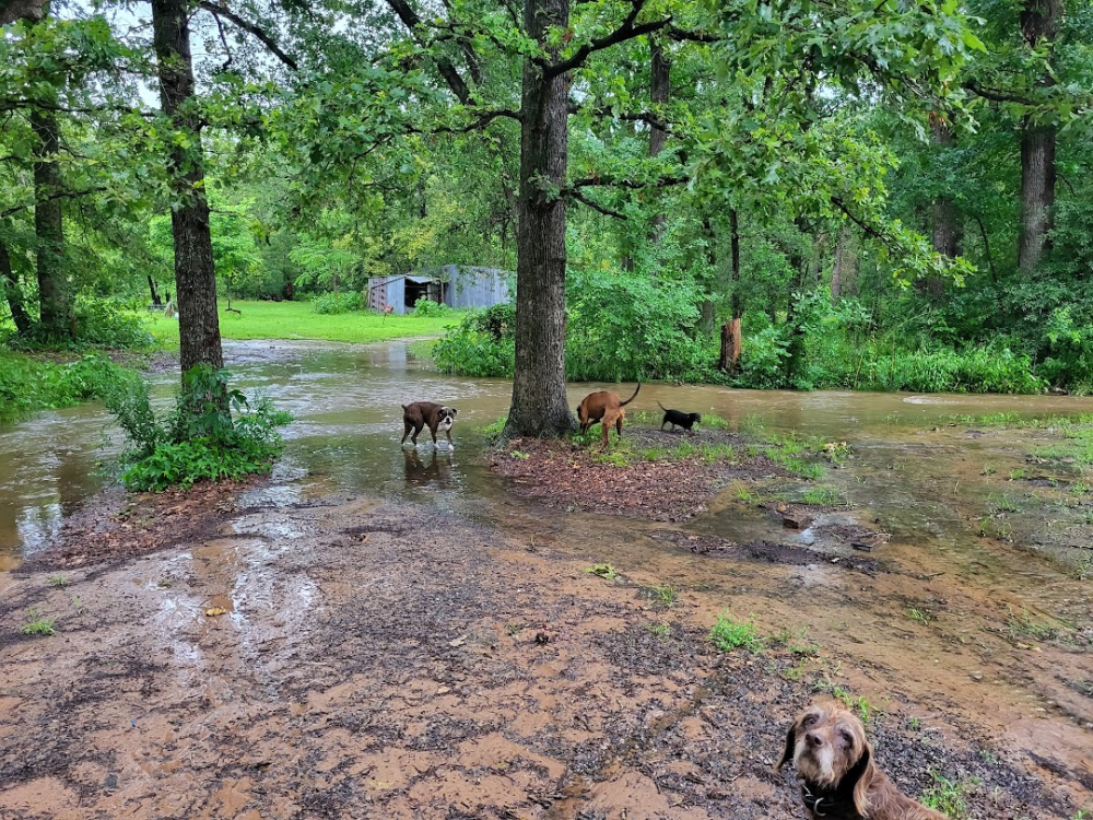
- Primary Local Hazards: Heavy downpours occurring over brief periods pose a distinct threat to rural roadways, low-lying pastures, and drainage structures. Drivers traveling along I-30, SH 19, and local county roads should anticipate sudden pooling water and reduced visibility.
- Agricultural Considerations: Texas A&M AgriLife Extension agents in Hopkins County are encouraging local cattle producers and livestock owners to move herds out of low-lying creek bottoms and low-elevation pastures ahead of midweek rain bands.
- Local Preparedness Steps: Residents should secure outdoor property, restock family emergency supply kits, and avoid parking vehicles in low-lying areas.
Real-time highway updates and road flood closures are updated continuously at DriveTexas.org, while severe weather safety protocols can be accessed at TexasReady.gov and tdem.texas.gov/prepare

.